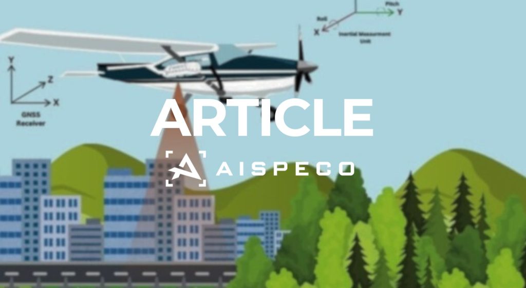
What is surveying?
What is surveying? Introduction Surveying is the science and technique of measuring and mapping the Earth’s surface. It helps determine the exact position, shape, angles and elevation of both natural and man-made features. This foundational data is essential for planning, designing, and constructing everything from land plots, buildings, and engineering infrastructure to public spaces, parks, […]
LiDAR vs Photogrammetry

LiDAR vs Photogrammetry Introduction LiDAR and photogrammetry are two widely used technologies for generating 3D maps and models and perform deep Geospatial analytics of surface and objects on it. While they work in different ways – LiDAR uses laser beams, and photogrammetry uses photos – they’re not competing technologies. In fact, they often work best […]
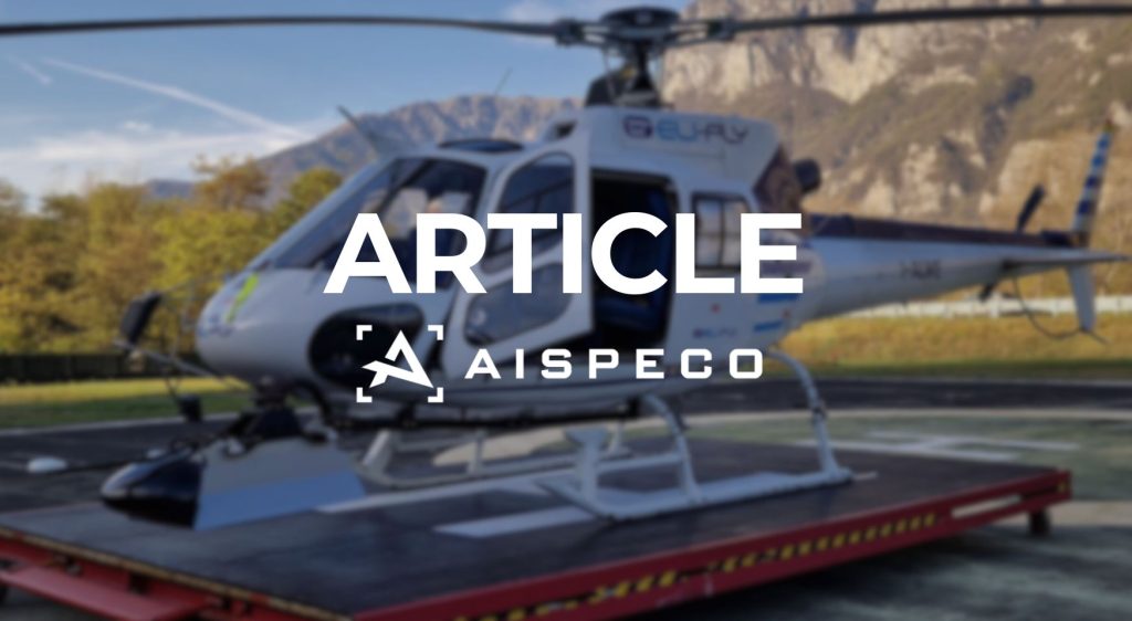
Innovative airborne asset management
AISPECO and Teledyne Geospatial present an innovative airborne asset management solution AISPECO and Teledyne Geospatial solution Teledyne Geospatial, in collaboration with AISPECO, exhibited the Network Surveyor solution at DISTRIBUTECH 2025, the largest and most influential transmission and distribution event in the United States. Held from March 24-27 in Dallas, Texas, the event brought together industry […]
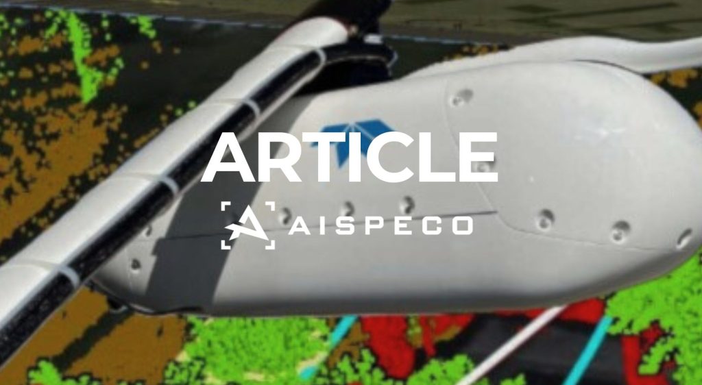
What is LiDAR and how does it work?
What is LiDAR and how does it work? Introduction LiDAR (Light Detection and Ranging) is an advanced remote sensing technology used to measure distances to the Earth’s surface or objects on it, creating detailed 3D maps. From aerial cityscape mapping to forest monitoring and autonomous vehicle navigation, LiDAR has become a vital tool across multiple […]
USA roadshow
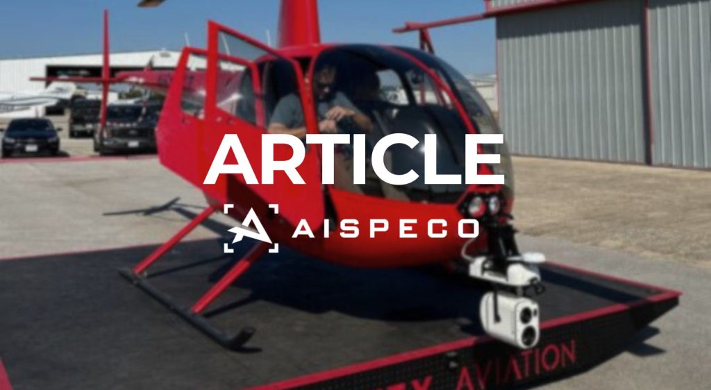
USA roadshow In November, the AISPECO team organized Demo Days in the USA AISPECO recently hosted an exciting roadshow in Texas, USA, where participants had the unique opportunity to witness our cutting-edge systems in action. The event provided an in-depth look at the capabilities of our HELIUX product line, including the HELIUX FOCUS mounted on […]
Power lines data collection
Power lines data collection with AISPECO systems Cost and flexibility: key factors in successful aerial data collection In the world of aerial data collection, cost and flexibility are key factors that determine the success of operations. Many traditional systems come with a high cost due to the need for aircraft modifications or the purchase of […]